clay landscape studies
Excerpt from a thesis project submitted to the School of Architecture and Cities at the University of Westminster, London
MA Architecture (Digital Media) 2021/22 (Distinction)
MA Architecture (Digital Media) 2021/22 (Distinction)
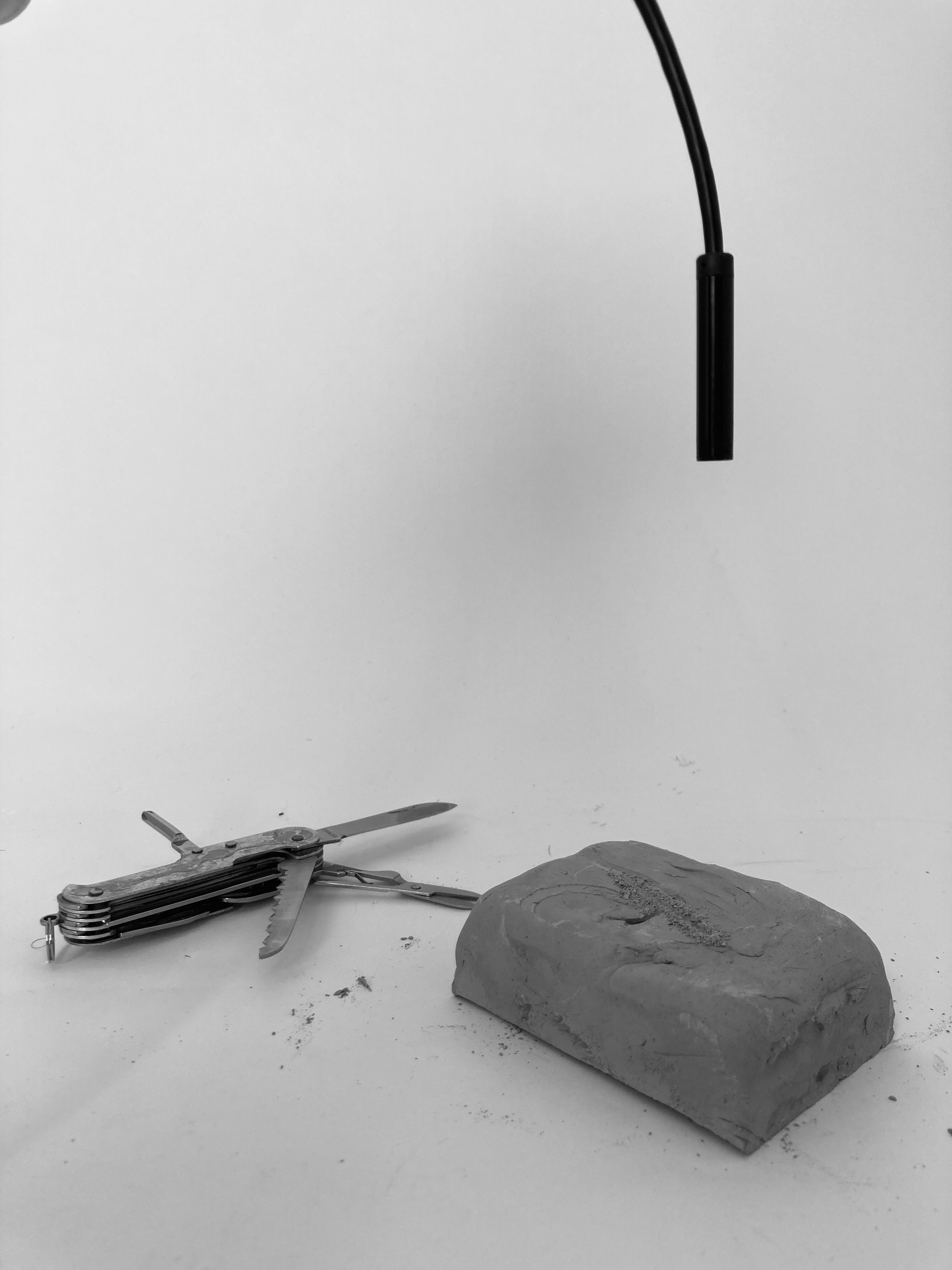
A documentative study of cutting tools and physical/digital remnants. Stemming from a curiosity towards the role of tools in landscapes of extraction, a wide range of tools of various forms and sizes from different fields of knowledge (woodworking, construction, surgery, dentistry, metalworking etc), tools were documented, abstracted and categorised according to the logic behind their movement: slicing, serrating, snipping, twisting, picking, and scraping. Small scale tools which follow these movements were obtained (scissors / 1mm drill bit / tweezers / peeler / surgical blade / serrated knife/ clipper) and tested on raw, unfired clay due to its malleability. The action was documented, while observing the motion of the tool, the action of removal as well as the form that remains.
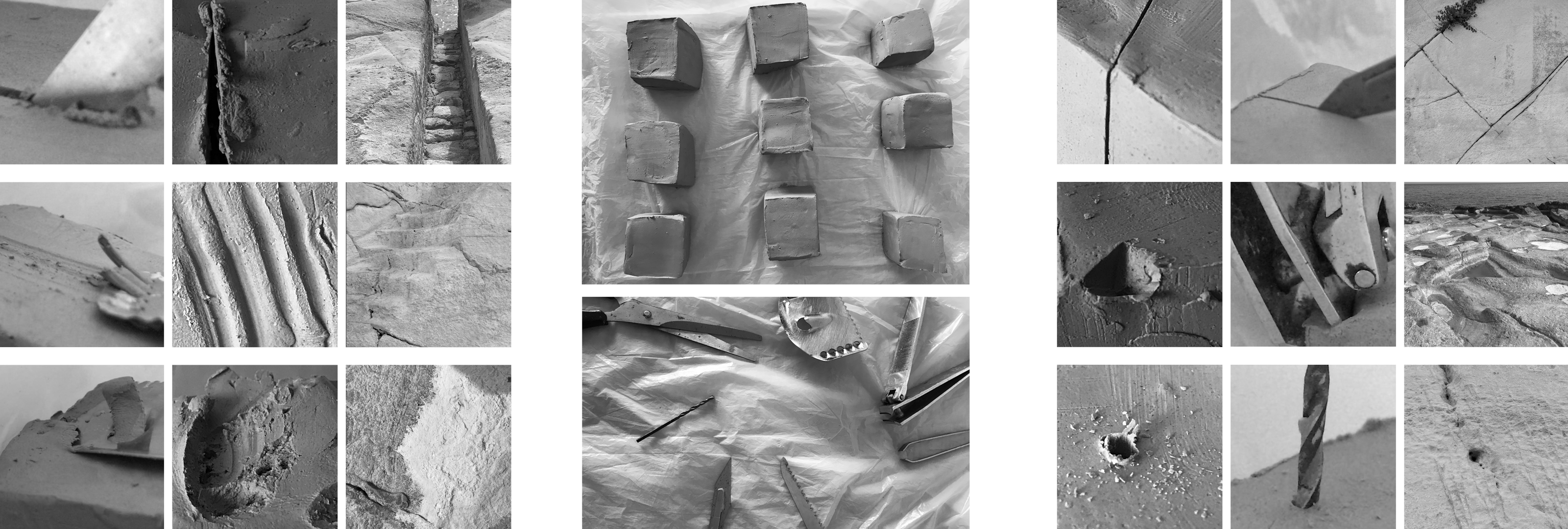
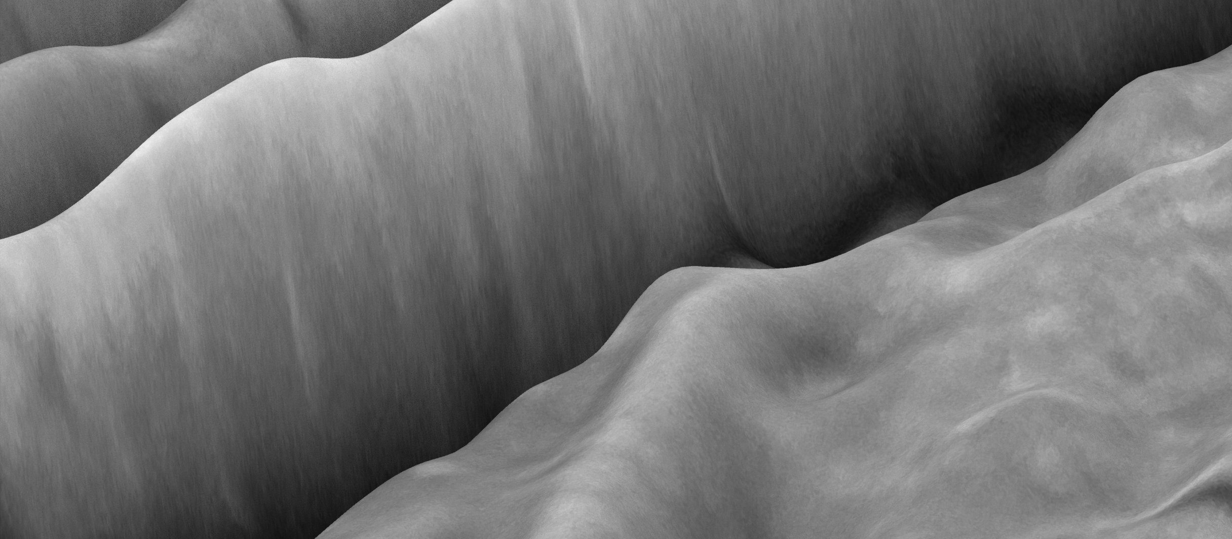
This setup aims to simulate the process of extraction, navigating between physical and the digital realms. Through the device designed, an archive of displacements and scars was developed. The physical action of cutting following a particular tool/logic was digitally recorded, and through graphic manipulation and scaling, the extent of the physical cut transformed into new emergent digital landscapes. Through the setup designed, an endoscope camera was used to record the physical manipulation of a clay surface through a cutting / drilling process. Each frame of the recorded process was converted into a displacement map, which in turn was used to manipulate a three dimensional plane. By having a real-time connection between the physical process and the development of the digital plane, the process allows a constant navigation between the two realms. One confined to physical constraints, and the other confined to a proportional limit defined by the information it is being fed.
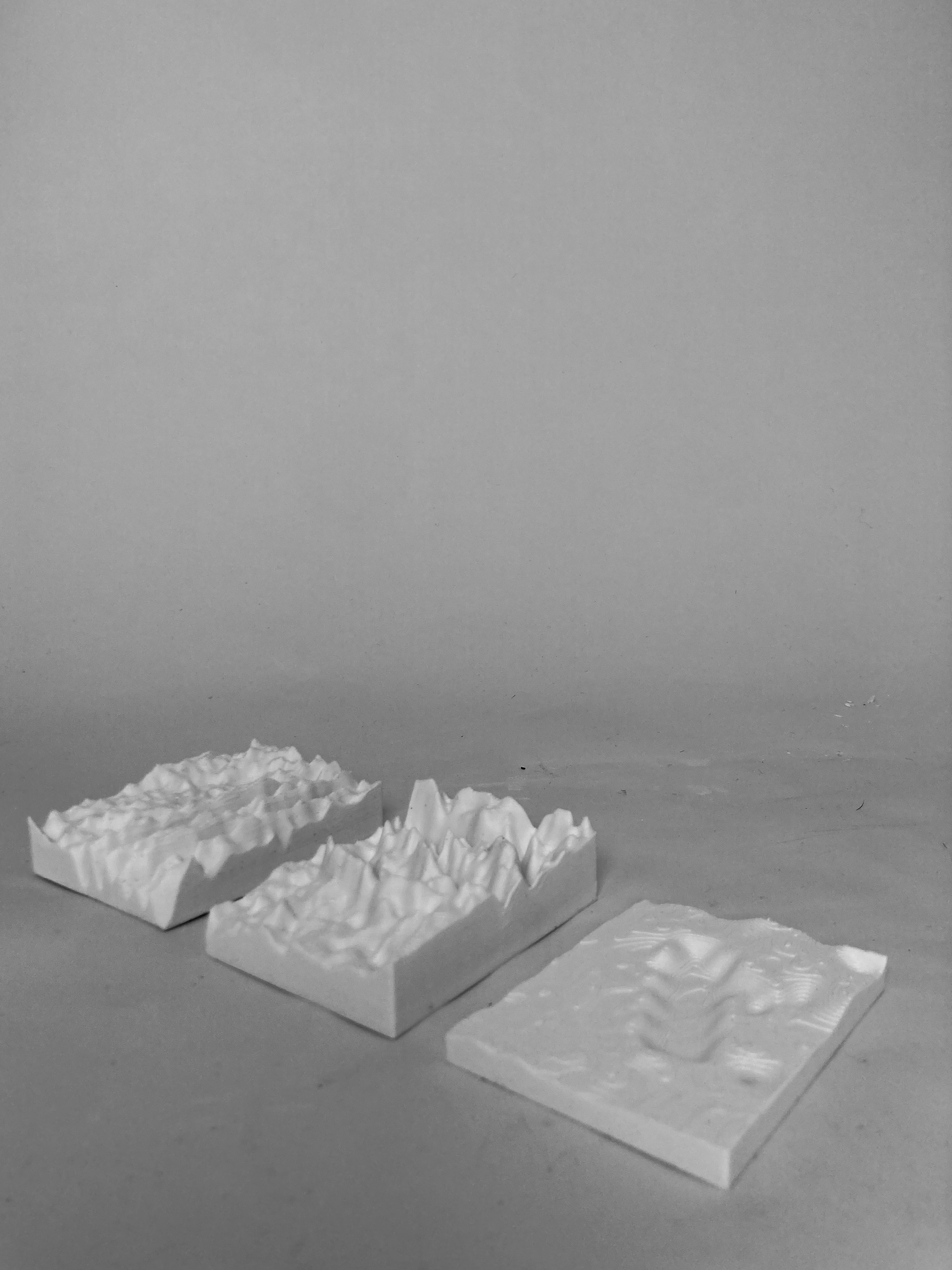
The real-time connection between the endoscope and the digital was established through a Processing sketch, in which the brightness of each pixel of the frame being captured is recorded. The value of this brightness (which exists in a range from 0 to 255) is then used as the displacement value in the z-axis of that particular point of the frame. For a smooth landscape, the brightness of each neighbouring pixel (around its corners) is also recorded. Several three dimensional models of the simulated landscapes were created using the displacement maps generated on 3d modelling software, which were then 3d printed for exhibiting. Parallels between the original and the fabricated could be drawn.
The real-time connection between the endoscope and the digital was established through a Processing sketch, in which the brightness of each pixel of the frame being captured is recorded. The value of this brightness (which exists in a range from 0 to 255) is then used as the displacement value in the z-axis of that particular point of the frame. For a smooth landscape, the brightness of each neighbouring pixel (around its corners) is also recorded. Several three dimensional models of the simulated landscapes were created using the displacement maps generated on 3d modelling software, which were then 3d printed for exhibiting. Parallels between the original and the fabricated could be drawn.